FEATURED ON GLOBAL BC! 😁👍
BC Marine Trails president Paul Grey explains how our organization works to secure long term public access to the BC coast. Watch the news clip here.

My 2023 Calendar is available for purchase here.
To the Indigenous cultures of the Pacific Coast, the Hummingbird is a messenger of joy. It stands for intelligence, beauty, devotion, and love. These little birds are also respected as fierce fighters and defenders of their territory.
Hummingbirds are a symbol of good luck. Seeing a Hummingbird before a major event, such as a hunting trip, or travelling to another village, was considered a good sign.
There are stories among the Haida where high ranking women would arrive at feasts with live Hummingbirds tied to their hair, underlining, and signifying their beauty, prestige, and close relationship with the spirit of the bird.
According to one Northwest coast legend, Raven transformed a flower into a Hummingbird. He gave the Hummingbird a message to take to all the flowers, which is why we see Hummingbirds darting quickly from flower to flower and whispering the message, thanking each flower for its beauty, and making our world a better place.
A special thanks to both Susan Slater Pearson and Rod Pearson for allowing me to photograph the Hummingbirds that visit their home.
My best to you in 2023.
Martin!

It didn’t take us long to find the T002C’s in Desolation Sound on October 8th. What we weren’t expecting is for them to be logging for nearly 3 hours. (Sleeping.) We waited it out, hoping that they would go on a hunt and that’s exactly what they did, taking down a porpoise or two on the southside of Mink Island. Be sure to get out on the water next season with my friend, Nick Templeman and Yukon, #chiefwhalespotter at Campbell River Whale & Bear Excursions.


Between August 17th – 29th, I travelled to the Cook Islands – Rarotonga and Aitutaki via Vancouver, Los Angeles, Auckland, New Zealand and then to my final destination. Including layovers, this encompassed about 45 hours of travel time. I can’t say enough about the comfort and hospitality offered by Air New Zealand. The fact that they are regarded as the number one airline in the World was evident. I have always dreamed about visiting “The Cooks.”
The Cook Islands are in the South Pacific Ocean, Northeast of New Zealand, between American Samoa and French Polynesia.There are 15 major islands spread over 2,200,000 km2 of ocean, divided into two distinct groups: the Southern Cook Islands and the Northern Cook Islands.
The people are warm and friendly, the food delicious and every service is available. During my stay, the weather was moderate and there were only a couple days that it was a bit “too hot.” On day 2, I got to experience a “tropical storm.”
A very special thanks goes out to Sonny and staff at Aroko Bunglaows. If you visit Rarotonga, I highly recommend you stay here. I extend my heartfelt appreciation to Arerau Rino Maao for sharing the beauty of his island, Aitutaki with me on the 25th. I also highly recommend the Aitutaki day tour offered by Air Rarotonga. Thank you to Mia at Island Car & Bike Hire for setting me up with “wheels.” Lastly, thank you to Walker, Tatiana and Marie at Te Vara Nui Village for being excellent hosts during the cultural performance and dinner I attended on the 20th.


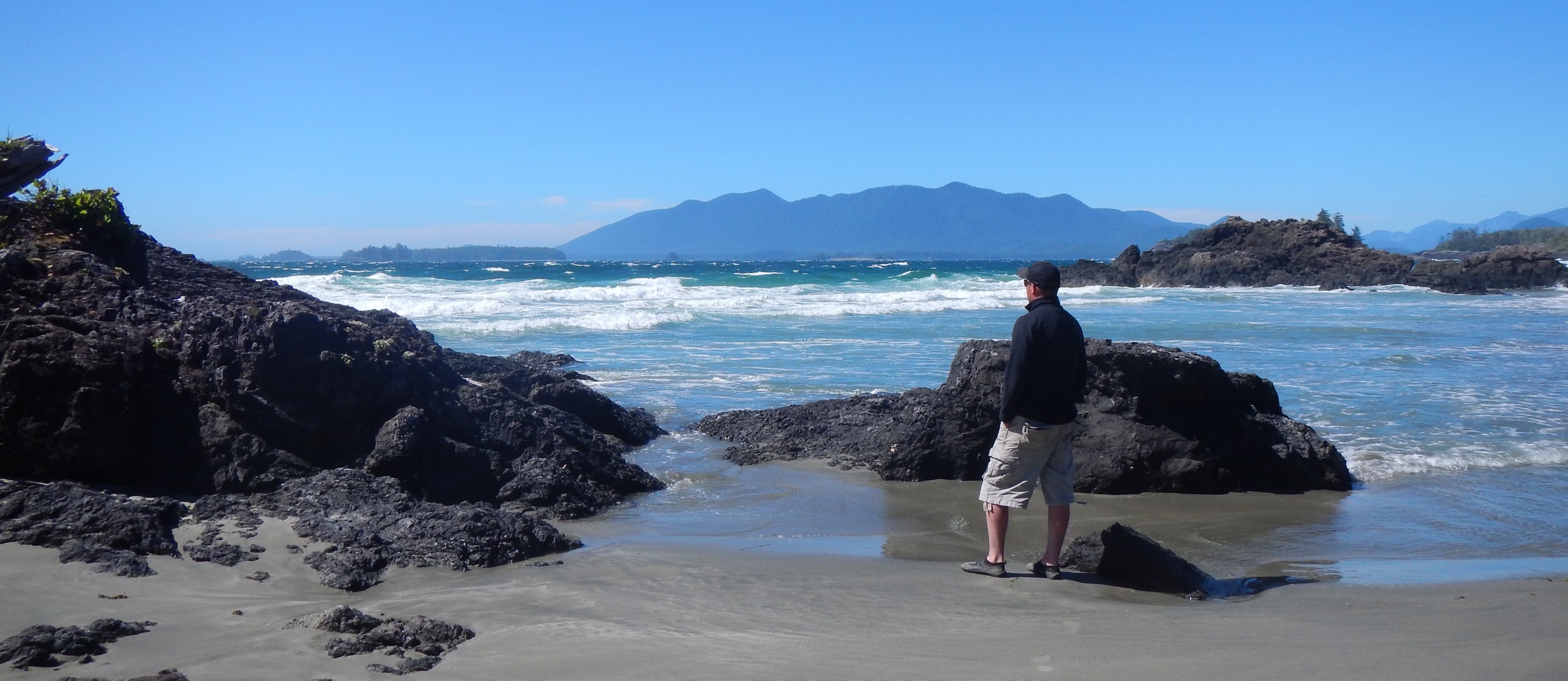
Between July 15th and 19th, I had the honor and privilege to paddle and camp with BC Marine Trails President, Paul Grey. We explored a stretch of coastline east of Telegraph Cove, all the way down to the boundary of Robson Bight. We also crossed the strait and spent a morning out at the Sophia Islands which was truly an idyllic location and one that I definitely recommend visiting. The weather and on water conditions were generally favorable except for the paddle back in the wind on the 19th.
Without a doubt, the highlight of our trip was the fact that we had 7 different encounters with Orca. On 3 separate occasions they came and rubbed on our camping beach including once where the entire pod of 12 animals came right in. It was incredible. Scientists believe that Orcas beach rub to maintain strong social bonds within their family groups. In other words, it is an activity, which helps to establish relationships within the pod.


Humpback flukes can be up to 18 feet wide, with a serrated “trailing edge” (the end of the flukes at the farthest end of the whale), and pointed tips.


One of the best things about wildlife photography, is setting out with a plan, but ending up with something completely different. One May 25th, we were hoping to find Orca, we didn’t have any luck but we found some Eagles that were fishing up by Sonora Island. Thank you again to Nick Templeman and Yukon, #chiefwhalespotter for another great day filled with adventure. Be sure to visit Nick’s website to find out how you can book your trip – https://campbellriverwhaleandbearexcursions.com/


Vargas Island has always been one of my favorite places. This was my 7th visit but not since 2018, so I’ve definitely missed this spectacular area. The only part of the island that I haven’t paddled to or camped on is “Dick and Jane Beach” but I’ll save that adventure for another time. I did get to add Milties Beach to my list though.
On the morning on March 28th, just as I was paddling past Opisat, the clouds and fog started to break and I was offered spectacular views of Lone Cone Mountain and then the Catface range. It was awesome! Taking my time, I arrived at Milties Beach in just a little under 2 hours, hugging the east side of Vargas Island. Many Sea Otters greeted me as I paddled along. I landed on the east side of the beach in direct proximity to a forested campsite, food cache and green throne toilet. These conveniences are maintained by local operators such as Tofino Sea Kayaking. Wolf tracks were apparent on the beach but unlike my visit to Rassier Point in April, 2018, I didn’t get to see ay Wolves this time.
Milties Beach can experience some surf in certain conditions, the surf does tend to be lighter in the center of the beach and heaviest on the west side. I recommend exploring by kayak or canoe, the little bay just east of the beach at 49.20872, -125.96198. It’s a sheltered, very picturesque and tranquil area.
On both the 28th and 29th, my friend “Tofino Sam” visited me, as he lives close by. It was great to see and catch up with him. Thank you for your friendship Sam.
More information about Milties Beach and Vargas Island along with a whole lot more can be found on the BC Marine Trails Website. If you’re not already a BC Marine Trails member, consider joining and supporting the important work this association is doing.


I spent the last few days of October exploring Highway 13 and surrounding areas in Southern Saskatchewan. This is known as “The Ghost Town Trail.” This was my second time visiting Saskatchewan but I didn’t get this far South when I visited in 2015. So, I’ve been wanting to get back.
Saskatchewan is undoubtedly one of Canada’s most beautiful and underrated provinces. There’s big prairie skies, long dirt roads and wide open spaces. The sunrises are magical and some of the best I’ve ever seen.
It was a successful trip, I only got chased off by one property owner and I saw Wolves on 3 separate occasions. The Wolves were quite skittish and I didn’t have my telephoto lenses with me. I wasn’t expecting to see Wolves.
A big thanks goes out to Kyla Black from Gathering Dust Photography for tipping me off on some very special locations. Be sure to visit her website to see her amazing work.


October 6th, 2021 – I set out this morning hoping to track a herd of Roosevelt Elk. They can at times be very elusive on Vancouver Island. After some “fence hopping” and bush whacking, I found a herd of 12 animals, being lead by a big bull.
The Roosevelt Elk are native to Vancouver Island and are the purest strain of Roosevelt Elk left in North America. The largest of the Elk species, a mature bull can weigh in excess of 1000 pounds. The Elk are “rutting” right now, so I was very careful to give the bull and herd plenty of space.


Recent Comments